PlaceVision software is available in a variety of modules to enhance functionality. The modules are highly customized for specific types of use cases in urban planning, historic preservation, and transportation planning industries.
PlaceVision Starter
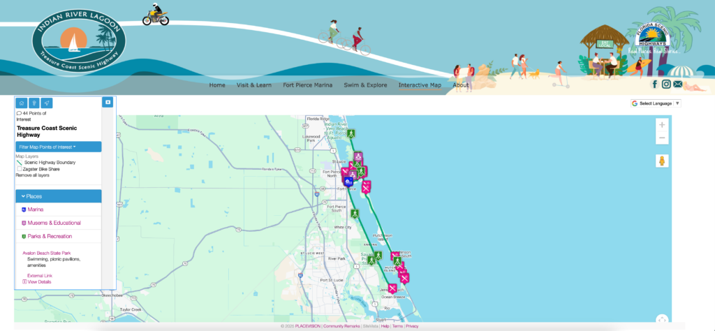
display points of interest
Includes 4 hours of technical support
- This package is intended for embedding an interactive map on a specific domain for the purposes of highlighting attractions and places within a district.
- Setup of custom domain name
- Installation and setup of SSL certificate
- Designated Google Maps license key
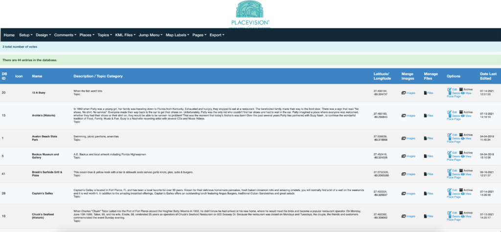
- Import points of interest to the database
- Add custom branding
- Extensive map controls
- GIS layers to the maps
- Setup categories
- Upload custom map markers
- Create a toggle legend
*Annual web hosting and SSL certificate required.
PlaceVision Community Remarks Basic +Plus
all phases of engagement
Includes up to 7 hours of technical support
- Collect citizen comments, responses, and votes on a map
- Add custom branding
- Extensive map controls
- GIS layers to the maps
- Setup categories
- Upload custom map markers
- Create a toggle legend over you map and present it on a per-category basis
- Edit the look and feel of the pages through templates
- Integrate with social media
- Share and Embed the maps in your project website
- Quickly respond to comments directly from the admin
- Export geocoded comments and responses as a CSV and KML file
- Focus feedback and voting on projects
- Customize and create extensive survey form
- Export project data from GIS/ Import into system
- Assign KML files to individual projects
- Unlimited project pages & database fields
- Create an image gallery for each project
- Show project phases over time
- Search projects
Ideal for community engagement projects such as transportation routes, long range transportation plans, and stages of plan development to retrieve specific comments and votes on proposed projects.
PlaceVision SiteVista
surveys for historic properties
Includes up to 7 hours of technical support
- Capture and survey properties from the field
- Location-based property input form
- Unlimited properties and photos
- Custom templates for PDF reports
- Custom property input forms
- GIS layers to the maps
- Integrates with third party websites
- Export database in multiple formats
- Customize and create extensive survey form
- Import property spreadsheet
- Unlimited database fields
- Create an image gallery for each property
- Search properties
Ideal for historic district survey inventories and catalogs.
PlaceVision Community Remarks for TIP
DOT projects & fiscal constraints
Includes up to 25 hours of technical support
- Pricing varies depending on the level of technical support needed
- Extensive support provided to import DOT spreadsheets
- Customized templates designed specifically for a TIP
- Search by work mix, fund source, responsible agency, and description
- Fiscal Constraint tables
- Automatically archives completed projects
- Print projects in landscape or portrait
- Update and expand project fields from the admin
*Pricing is for geographic areas consisting of 650,000 people or less. Larger areas might require purchasing additional technical support.
Web Hosting
annual renewal
Web hosting is renewed annually. Support includes google maps license, comment tracking, upgrades.
Customization and additional support beyond the license fee technical support provision for the first year is provided as-needed at $150/hour. Additional fees will be provided in a project scope.


